Vul. Yeroshenka – Kortumova Hora Park ID: 2007
Kortumova Hora Park is a municipal park in Lviv's northwestern sector, located on the slopes of the hill of the same name, a section of the Roztocze Heights. The park, which bears the historical topographical designation "Kortumivka", was already well-known by the end of the 18th century. The name is derived from that of gubernatorial counselor Ernst von Kortum, who had holdings here, and at one time maintained the area as a private park. Following Kortum's death in 1811, the Kortumivka land came into the possession of the Austrian Army, which established a shooting range at the location.
Story
Of Lviv's late 18th-century parks and gardens of historical note, the broad, leafy, northwestern heights of Kortumova Hora, which once lay outside the city limits, are worthy of special attention. The topographical designations Kortumova Hora and Kortumivka are taken from the surname of the gubernatorial advisor, director of the Galician Saltworks, administrator of the University, Masonic Lodge member, and author of the 1790 monograph "Magna Charta von Galizien", Ernst von Kortum, who also owned property at the site. Kortum maintained the mortuary of his wife Freiderika in the private park and the grange located there came to be known as Freiderikhivka.
Franciszek Jaworski describes Kortumivka as "truly a well-kept, lordly estate". A quotation from Horace engraved on the pediment greeted guests of the gable-roofed manor, and from there, "brick outbuildings surrounded (the Manor), with splendid orchards fanning up and out before it, and spots for garden walks where there was a small grape arbor, a hothouse and gardener's shed. Though there was no need for a gardener as the "Hofrat" (the governor's high counselor), engaged the garden arts with an authentic zeal, working the soil with his own hands and, by the time of his death, he had planted 2,233 fruit trees there. In addition, the grange held dozens of half-hectare plots which were worked by peasants attached to the Manor. From the gazebo in the grove that topped the hill, the Counselor had an enchanting view of the city, and also of the tomb of his wife, cocooned in his melancholy by pine, birch, and weeping willow" (Jaworski, 1911, 330). Indeed, the Kortumivka plantation, with its 'sentimental' bearing, stood as a monument to horticultural trends of the Romantic era.
Following the death of von Kortum in 1811, the territory came into the possession of the military, which maintained a shooting range at Kortumivka (Jaworski, 1911, 330). During the 19th century, the gradually expanding grounds of the Yanivskyi Cemetery were established near the park's southern boundary.
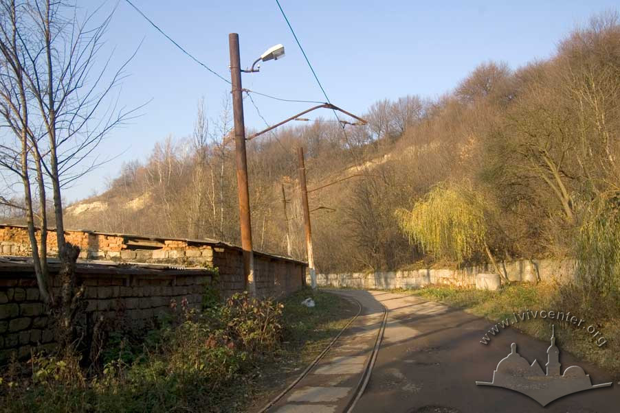
A railway line was laid in during the 1860s which looped around Kortumivka and cut through the outlying village of Klepariv, forever altering the bucolic setting and appearance of both hill and village. Near the close of the century a large construction ceramic works was established on the Friderikhivka plot of land by Ivan Levynskyi and Aleksander Domaszewicz (Zhuk, 2010, 82-83). Despite the changes, "Kortum's Grove" continued to serve the community as a popular spot for picnickers and those out for a stroll. For a time a horticultural research institute was located here, and it is reported that the park was maintained in good condition until the beginning of the 20th century.
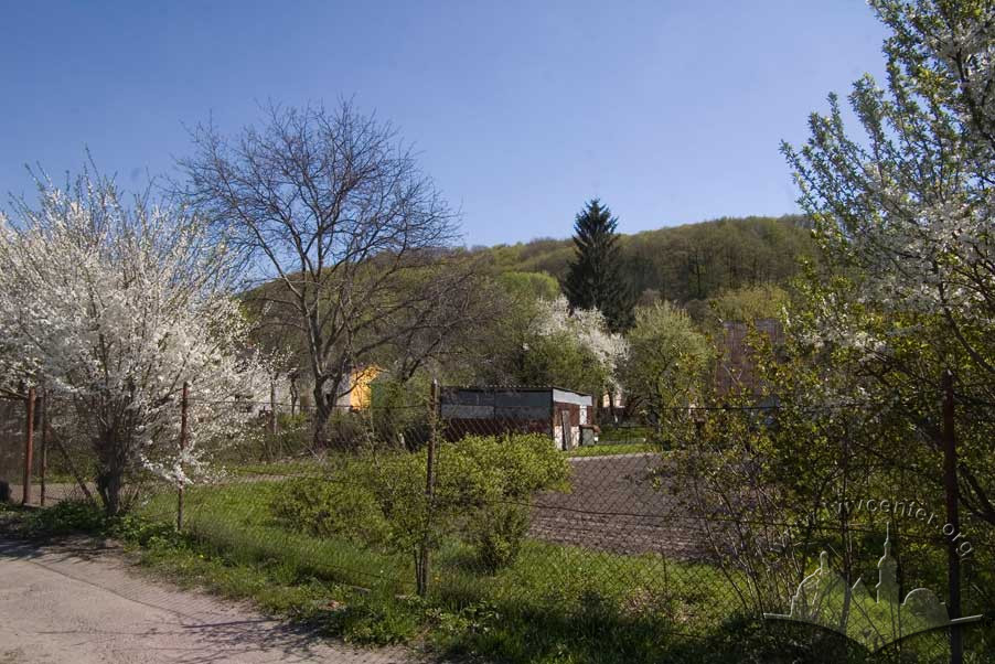
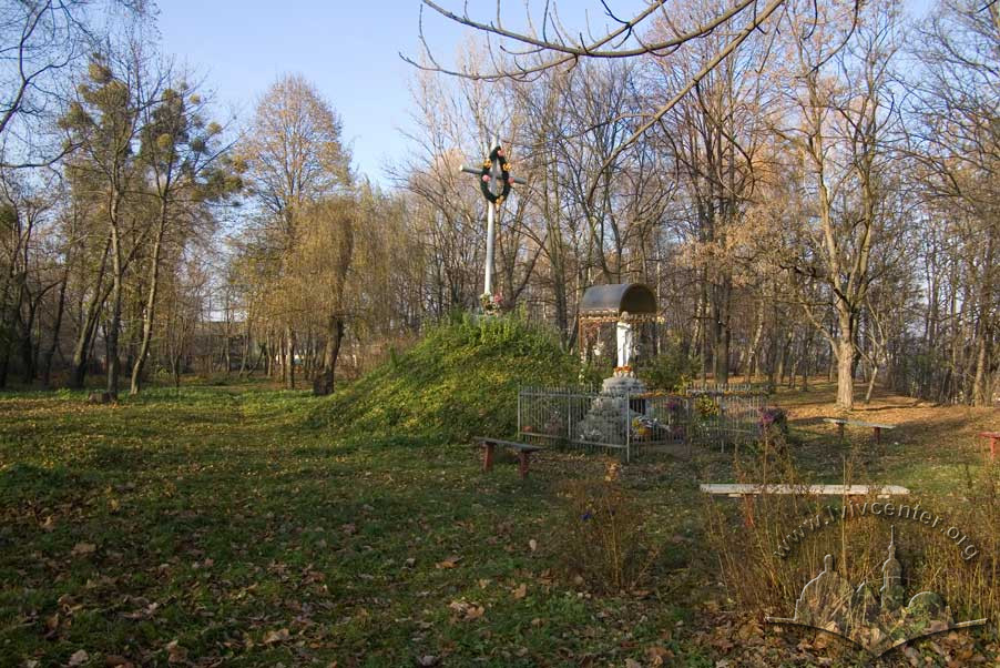
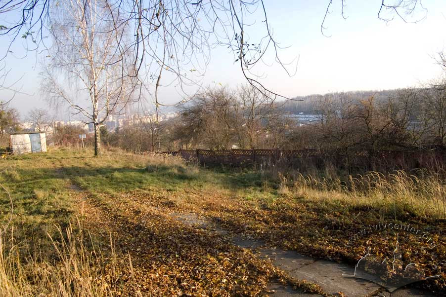
The Kortumova Hora Park was razed during the Second World War when occupying German forces converted the area into the Yaniv Concentration Camp. Part of this area currently serves as a penitentiary grounds. Currently the upper terrace of Kortumova Hora is used as a sport firing range. On its lower reaches various workshops and garages are nestled into the hill. The territory of this historical park is in a dilapidated state as of this writing, though its singular landscaping continues to intrigue city residents.
Architecture
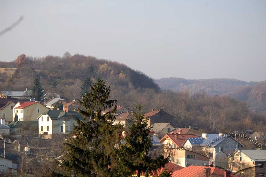
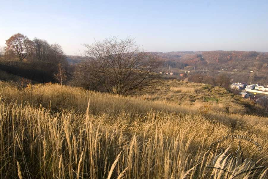
Kortumova Park is located in northwest Lviv on the slopes of the Kortumova Hora (Hill). 379m above sea level; it is part of the Roztocze Hills which run north and west from the Hytsleva Mountains. Looking from the highest point in Lviv — Castle Hill – the Poltva River valley splits Kortumova Hora, and marks the valley's western limit.
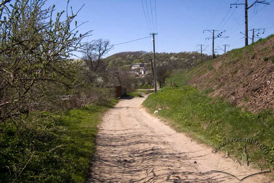
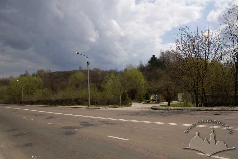
On modern maps, the park appears to be encircled from the north and east by railway lines, with Vynnytsya Street running parallel. Beyond the tracks lies the territory of Bryukhovytskyi Park. Yeroshenko Street and the Yaniv Cemetery mark the hill’s southern boundary, with the Ukrainian Ministry of Defense Sports Complex occupying a large site lying further to the southeast. Shevchenko Street runs past the park on the west near the final stop of the city's #7 tram line. Here, adjacent to Tatarbunarska Street, sits the penitentiary.
Kortumova Hora rises sharply on its northern and northeastern sides from Vynnytsya Street. On the west, above Tatarbunarska Street, it ascends steeply. The southern slope rises gently from the Yaniv Cemetery. The southeastern quarter of the park zone is cut with gullies. Yeroshenka Street echoes the park contours as it curves its way through, serving as the territory's main thoroughfare, paths branching off from it, left and right. A sport firing range is located at park center.
According to the information posted at the park entrance, Kortumova Hora occupies 63 hectares and is home to unique fossilized floral specimens, crucial to the understanding of the geological record of central Europe.
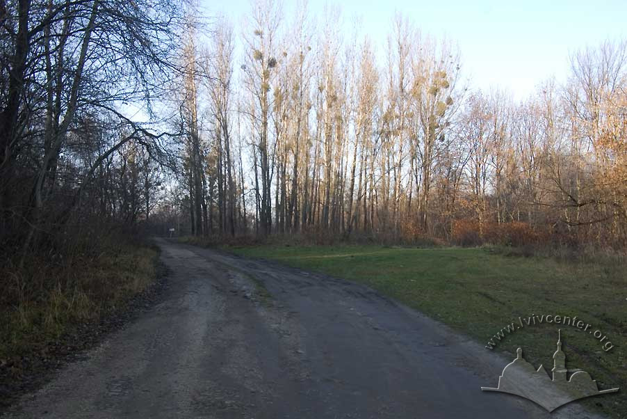
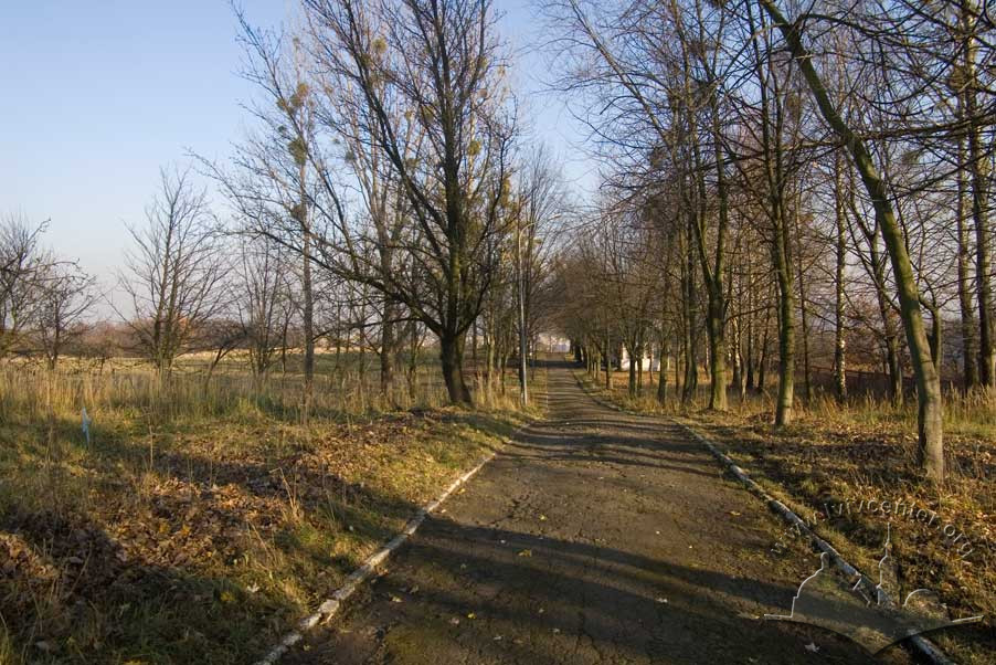
Reduced stands of maple, ash, birch, black alder, chestnut, pine, and other species comprise Kortumivka's woods. In earlier times, forest undergrowth had been populated by boxwood and rhododendron.
People
Aleksander Domaszewicz — Business owner.
Quintus Horatius Flaccus, Horace — A Roman poet.
Ernst von Kortum — Government official, land and park
owner.
Friederike von Kortum — Land and park owner.
Franciszek Jaworski — Historian.
Sources
- Ivanochko, U. et al. “Architecture of the late 18th and first half of the 19th Centuries.” Architecture of Lviv: Times and Styles, 13th-21st centuries. Biriulyov, Yuryi, ed. Lviv: Center of Europe Publishing, 2008. 170-237. Print.
- Zhuk, Ihor. The Lviv of Levynskyi: a town and its builder. Kyiv: Hrani-T Publishing, 2010. Print.
- Krypyakevych, Ivan. Historical Walks Around Lviv. Lviv: Kamenyar, 1991. Print.
- Jaworski F. Lwόw stary i wczorajszy (szkice i opowiadania): Z ilustracyami. Wydanie drugie poprawione. Lwów, 1911. Print