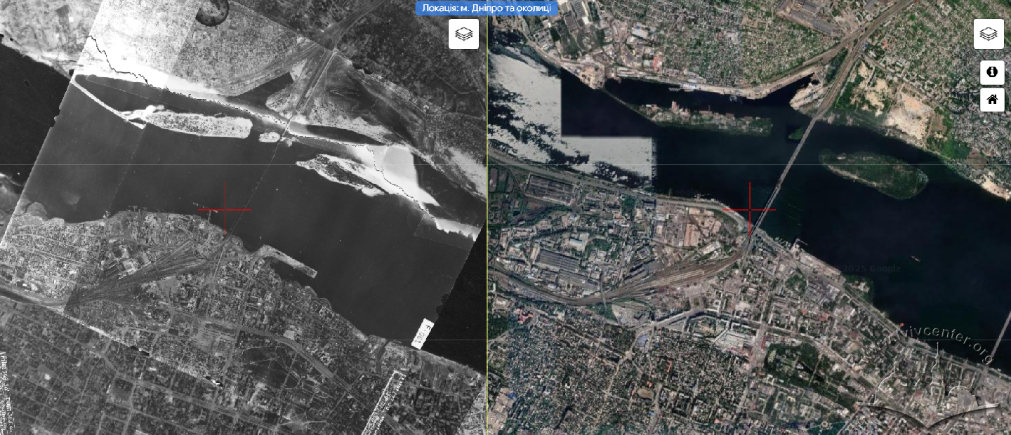
From Maps to Satellite Images: Creating a Visual History with OldMaps ID: 295
The OldMaps project allows you to see the dynamics of changes in terrain and urban landscapes and discover visual history in a new format.
The OldMaps project allows you to see the dynamics of changes in terrain and urban landscapes and discover visual history in a new format.